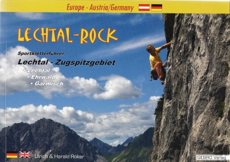
climbing guidebook Lechtal Rock
The sport climbing guidebook for the region from the sources of the river Lech to the Zugspitze. The authors climbed in the 3 years of the research most of the routes themselves, adjusted the grading and offer informative route-texts to most climbs.
Many crags are described with photo-topos as well as with "normal" handdrawn topos. These handdrawn pieces of arts by Ulrich Röker have in the meanwhile a legendary status. Therefore for most crags each climber can use his favourite type of topo.
Handdrawn, detailed topos and photo-topos
Stars for cliffs
23 areas
More than 660 routes
192 pages completely in colour
Including many photos
Exact access information
Detailed access maps
Colour-symbols, GPS coordinates and a lot more...
192 pages
language German / Englsih
edition 2014
U. Röker, H. Röker
Gebro Verlag


