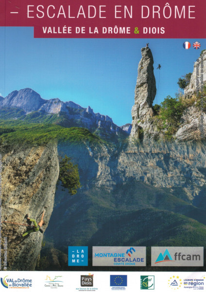
climbing guidebook Escalade Vallée de la Drôme & Diois
Just as solidly structured and clearly laid out as its two brothers (Escalade en Drome Provencale & Escalade en Drôme - Vercors sud & Drôme des Collines), the third volume of the Drôme climbing guide series has now been published. The areas are spread between Crest in the west and Lus la Croix Haute in the east on the impressive foothills of the Vercors. Climbing areas are described which are located in the immediate neighbourhood of the smaller villages or climbing areas which can be hiked in the almost untouched nature of this magnificent French landscape.
The bilingual climbing guide characterises the respective climbing area by means of an exact description of the location in the map section, type of rock, altitude above sea level, GPS coordinates, overview of the number of routes sorted by grade as well as precise descriptions of how to get there and how to get there. All further information is then provided in the form of pictograms: approach time, orientation, best time of year, hours of sunshine or shade, type and number of belay points, material required, child-friendliness, enjoyment factor, ...
At the end of the guide you will also find a list of all the described lengths, sorted by grade and area. More information really is not possible!
Oh yes, the super colour photos should of course also be mentioned.
described areas: LES ROCHES / SOYANS / SAOU / SAINT MOIRANS / LES AUBERTS / VERCHENY / CHIRONNE / ROMEYER / VALCROISSANT / VALLON DE BAIN / DEVERS A MAUK / COL DES AIGUILLES / LUS LA CROIX HAUTE / LE CLAPS / PENNES LE SEC / LE DEVES
336 pages
language french / english
edition 2020


